Our services
Informationfor physical environments.
Five service categories, each defined by the information it produces. Every mission ends with documented, reusable outputs.
How every service works
Defined by the decision
Each engagement starts from what you need to decide, then sets area, resolution and frequency to match.
Measured, not illustrated
Outputs are georeferenced and documented so they can be measured, compared and reused.
Delivered in your formats
Maps, models, datasets and reports arrive in formats your engineers, analysts and managers already use.
01 — Assess
Requirement, site, access and constraints.
02 — Deploy
Planned flight, controlled acquisition.
03 — Analyse
Processing, quality checks, interpretation.
04 — Deliver
Documented outputs and a clear handover.
Service 01
GeospatialMapping
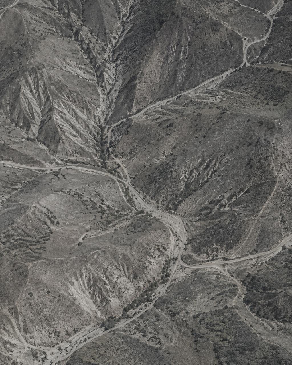
Collect georeferenced imagery and generate terrain models without relying exclusively on ground-based surveys. Useful where existing maps are outdated, incomplete or unavailable.
Typical situations
- 01
The existing map is outdated or does not exist.
We fly the site and produce a current, georeferenced orthomosaic you can measure on.
- 02
You need volumes, slopes or drainage lines before design.
We generate elevation models and contours so engineers work from measured terrain.
- 03
A site changes faster than ground surveys can follow.
Repeat flights over the same control points show what moved, and by how much.
Applications
- Urban planning and expansion
- Road and drainage design
- Mining and quarry volumes
- Land and site documentation
Deliverables
- Orthomosaic maps
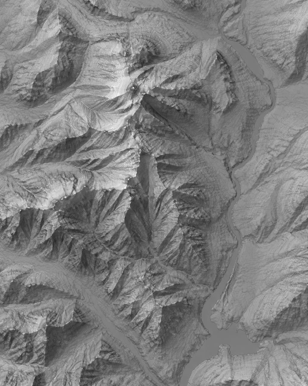
- Digital elevation models
- Contour datasets
- 3D reconstructions
Service 02
Infrastructure Inspection
Close-range documentation of structural elements
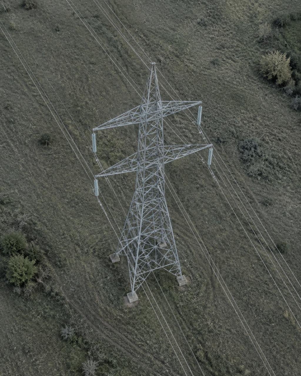
Document the condition of transmission lines, towers, bridges, roofs and industrial structures from close range, without scaffolding or shutdowns where avoidable.
Typical situations
- 01
A tower, roof or bridge is hard or unsafe to reach.
Close-range imagery documents each element without sending people up first.
- 02
Maintenance needs to be prioritised across many assets.
Defects are annotated, located and graded in one register your team can act on.
- 03
You need proof of condition before or after works.
A dated, repeatable record supports handover, claims and planning.
Applications
- Transmission and telecom towers
- Bridges and civil structures
- Roofs and façades
- Industrial installations
Deliverables
- Inspection reports
- Annotated defect imagery
- Condition documentation
- Asset registers
Service 03
EnvironmentalMonitoring
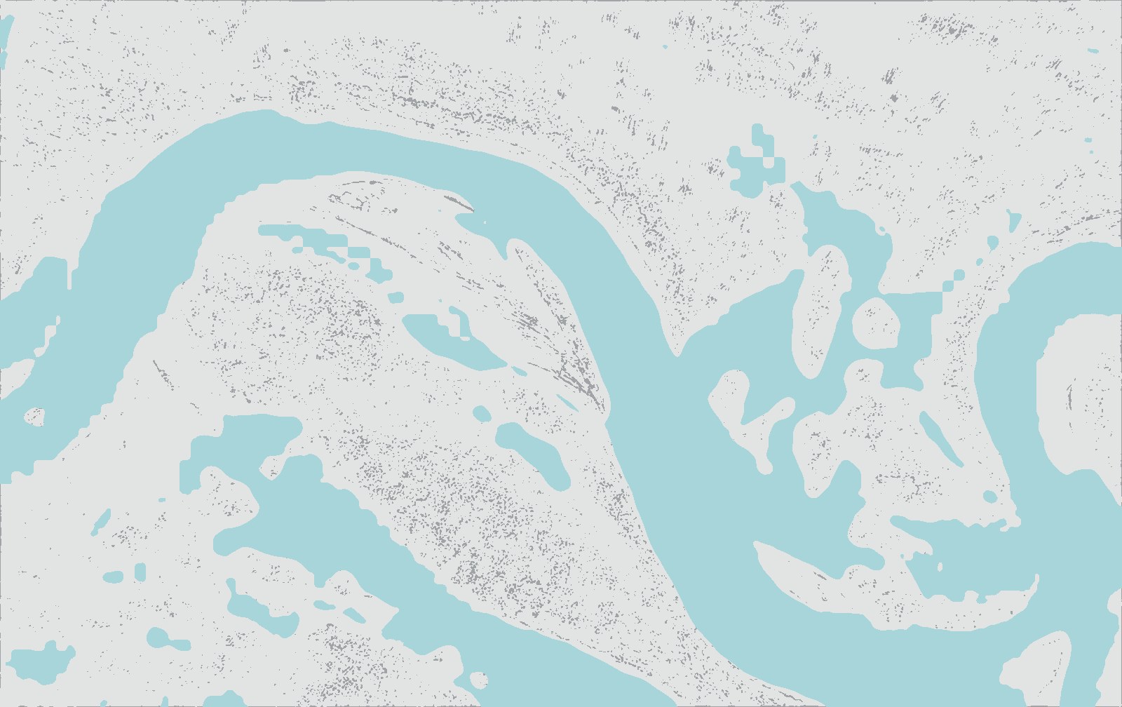
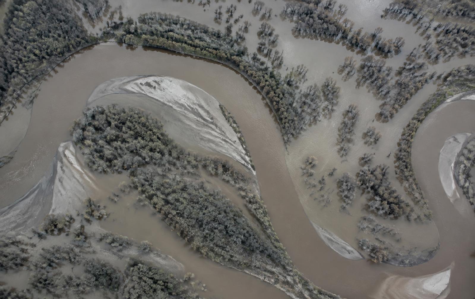
Monitor environmental change over time with consistent, repeatable acquisitions. Compare surveys to quantify flood extent, erosion progression or vegetation loss.
Typical situations
- 01
A flood has happened and its extent is unclear.
We map the affected area and deliver a flood extent layer for response and planning.
- 02
Erosion or a riverbank is advancing toward assets.
Successive surveys quantify the change so mitigation can be targeted.
- 03
Land cover is shifting and needs documenting.
Time-series comparisons show where vegetation or land use changed.
Applications
- Flood extent mapping
- Erosion and gully monitoring
- River and shoreline change
- Vegetation and land cover
Deliverables
- Environmental change maps
- Time-series comparisons
- Flood extent layers
- Survey datasets
Service 04
Security&Observation
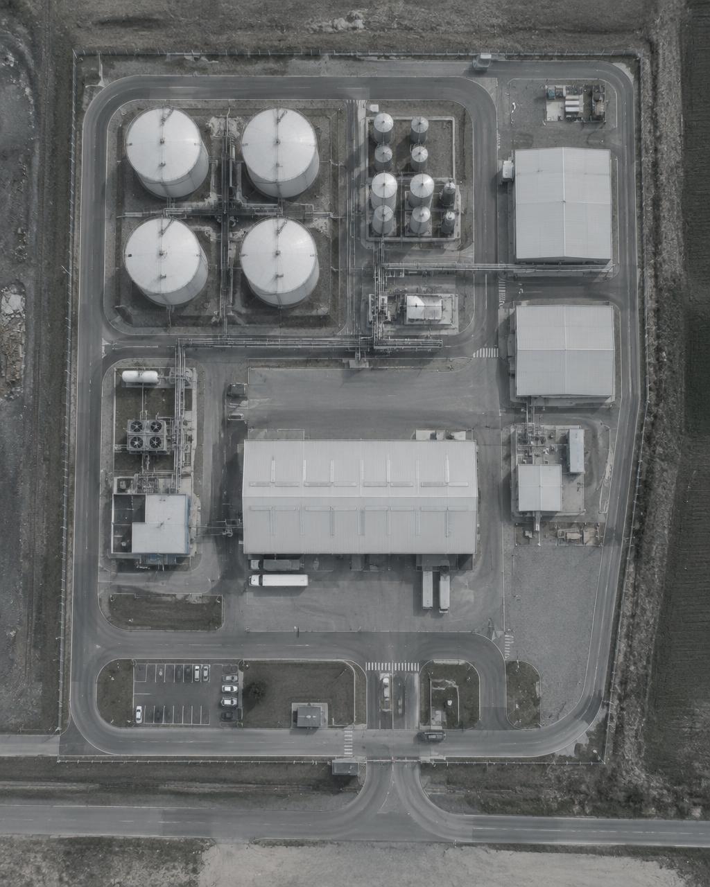
Support site security teams with aerial observation of perimeters, access routes and large facilities. Observations are documented and delivered in a structured format.
Typical situations
- 01
A large perimeter cannot be seen from the ground.
Aerial observation gives security teams a complete, current overview.
- 02
An incident needs to be documented accurately.
Georeferenced imagery and observation logs record what happened and where.
- 03
Access routes and logistics need planning.
Site overviews show routes, choke points and staging areas in context.
Applications
- Industrial perimeter observation
- Site access and logistics
- Incident documentation
- Large event support
Deliverables
- Observation logs
- Georeferenced imagery
- Perimeter overviews
- Incident documentation
Service 05
Research&Analysis
Design aerial data collection around a research question, then process observations into measurements, models and clear findings that can be reused.
Typical situations
- 01
A research question needs spatial data that does not exist yet.
We design the collection around the question: area, resolution and frequency.
- 02
A feasibility study needs a reliable baseline.
Baseline surveys establish the starting condition for later comparison.
- 03
Findings must be reproducible.
Methodology, parameters and limitations are documented with every dataset.
Applications
- Academic and institutional research
- Feasibility studies
- Baseline surveys
- Impact assessments
Deliverables
- Processed datasets
- Analytical reports
- Measurements and models
- Methodology documentation
 Hillshade · elevation model