History
Built aroundthe information,not the aircraft.
Bauldrin provides aerial intelligence, surveying, inspection and geospatial analysis for organisations that need reliable information about physical environments.
01 / How it started
We never got overthe view from above.
Four movements, told as they happened.
I · Observation
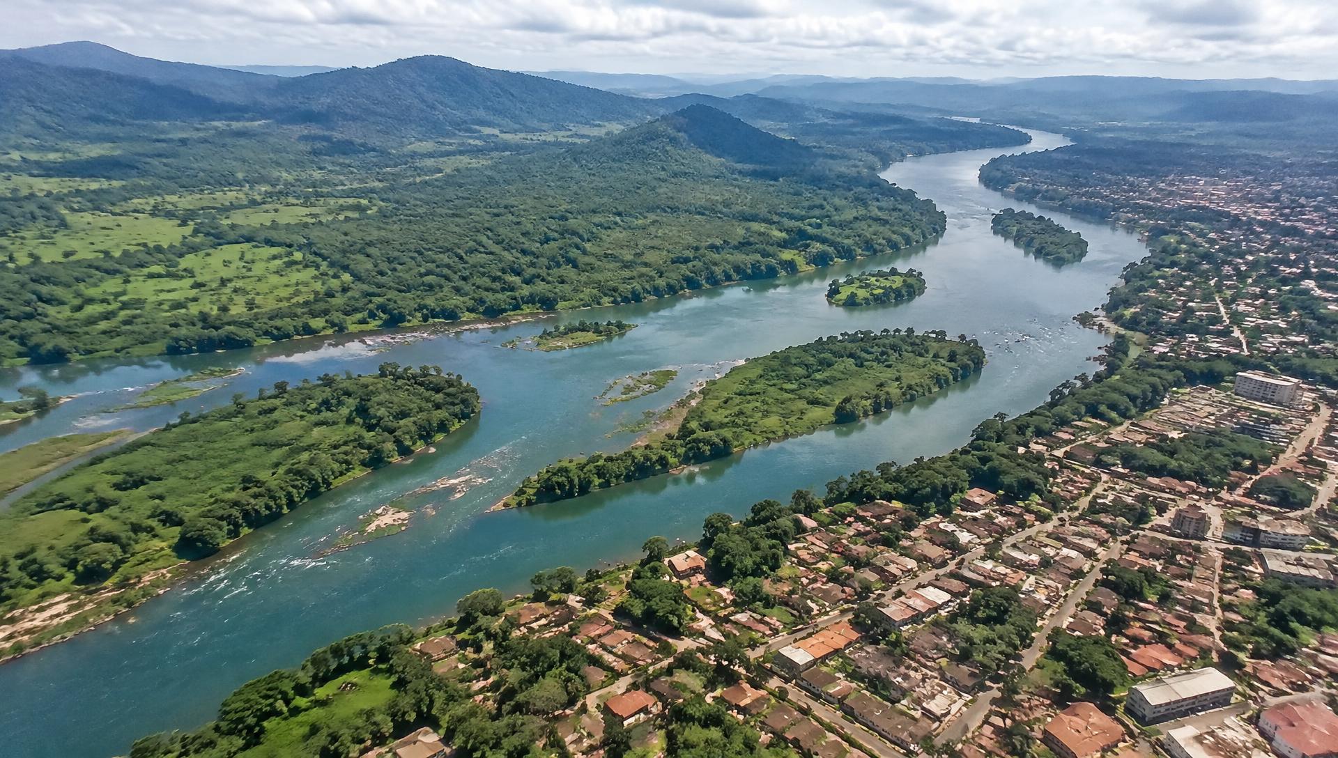
Long before there was a company, there was a discipline of observation. From any elevation — a rooftop, a ridge, an aircraft window — we learned to read terrain the way analysts read data: the fracture crossing a warehouse roof, a track returned to dust weeks after grading, a river that had shifted course since the last map was drawn. Where others saw scenery, we saw information.
II · The tools
The first aircraft were consumer machines — limited, temperamental, instructive. We flew them over fields, quarries and unfinished developments, and the footage they returned failed on the only criterion that mattered: it could not be measured. A beautiful image is not intelligence.
III · The shift
So we stopped mistaking the aircraft for the work. A camera that returns a picture is a camera. A camera that returns coordinates, elevations and a repeatable grid is an instrument. The work changed nature the moment we began asking which decision had to be made — before asking what the machine could carry.
IV · The purpose
A single survey settled the question. It showed a team where to set a culvert before the rains, on ground no one had walked in years. Observation became obligation: the view from above is only justified when someone below can act sooner, safer, and with greater certainty.
What began as fascination is now a standard of work: if it cannot be measured, it is not finished.
02
Why Bauldrin exists
Organisations that build, operate and protect physical environments often make decisions with maps that are years old, or with no maps at all. Ground surveys are slow, and many sites are difficult or unsafe to reach.
Bauldrin was created to close that gap: to collect current aerial observations and turn them into information that engineers, planners and managers can rely on.
Founding year — to be supplied
03
Our approach
We start from the decision a client must make, then define the information required to make it. The aircraft, sensors and flight plan follow from that requirement — never the other way round.
Every mission is documented: what was collected, how it was processed and what limitations apply. That record is what makes our outputs reusable and comparable over time.
04
Our expertise
Geospatial mapping, infrastructure inspection, environmental monitoring, security observation and research support. Outputs are delivered as maps, elevation models, datasets and written reports.
Team qualifications and certifications — to be supplied
05
Where we work
Rapidly developing cities and remote regions, including Kinshasa and the wider Democratic Republic of Congo, need current geographic information. Urban expansion, infrastructure growth and environmental change move faster than traditional mapping.
We intend to make that information dependable and accessible to the organisations that build, insure and protect these environments.
- 01 · Precision
- Measured, georeferenced outputs with stated accuracy and limitations.
- 02 · Clarity
- Short, factual reporting. Findings first, method documented.
- 03 · Discretion
- Client data is handled carefully and shared only as agreed.
- 04 · Repeatability
- Consistent acquisitions so today's survey can be compared with the next.
Describe the requirement.
We define the mission.